
Imperial War Museums
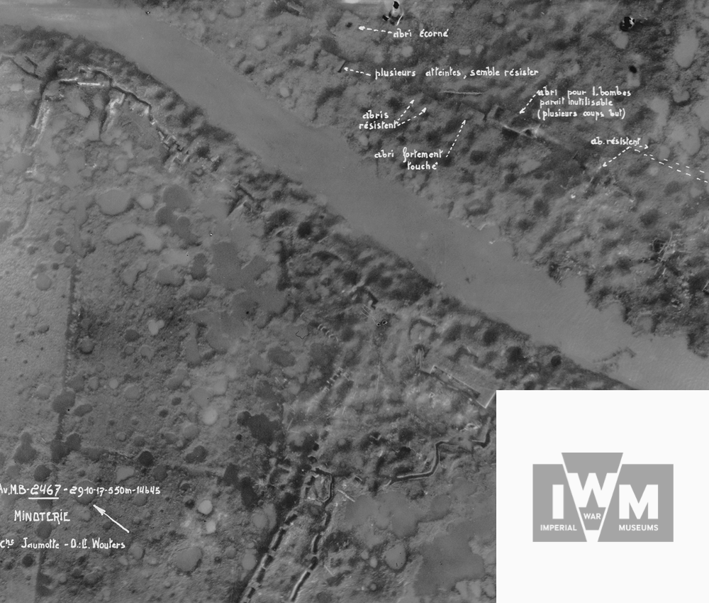
The Imperial War Museums' aerial photograph collection, the 'Air Ministry First World War Official Aerial Photographs Collection', includes more than 133,000 original glass plate negatives of aerial photographs, which makes it the only one of its kind. The collection is known as the 'Box Collection' or the 'Dave Parry Collection', because of the wooden boxes that hold the negatives, and because of the pioneering work of one of the IWM's former curatord. The collection is accessible at the Imperial War Museums via an index card system linked to the map grid of the 1:40,000 maps developed by the Geographical Section of the British War Department (GSGS War Office).
Since the collection is the work of the air reconnaissance units of the Royal Flying Corps and Royal Air Force, it mainly covers British areas of operation. A large quantity of photographs are available of, in particular, the Ypres Salient and the Somme battlefields. The collection includes aerial photographs of the Belgian coast southward to beyond Péronne; but there are also photographs that have been taken up to more than 100 km behind the German lines. Spearheaded by research at Ghent University and with funding from the In Flanders Fields Museum and the Nord-Pas-de-Calais Region, approximately 20,000 images have been digitised (especially the region of the Ypres Salient and the Nord-Pas-de-Calais region) and can be accessed online via the IWM website.

War Heritage Institute / Royal Museum of the Armed Forces and Military History

The northernmost sector of the Western Front was known as the ‘Yser Front’ and was defended primarily by the Belgian Army with only a French and British sector at Nieuwpoort. The War Heritage Institute's complete 'Collection of Aerial Photographs 1914-1918' (site Royal Army Museum) comprises approximately 45,000 prints of aerial photographs of the front region between Nieuwpoort and Ypres, the coastal defences and the German hinterland. About 1,500 digitised images from this collection are presented via this portal. They give an impression of the richness of the collection.
As the collection is organised and arranged according to the toponyms that cover the aerial photographs, it is easy to find images of specific locations, including villages and towns, hamlets, roads, watercourses and forests, as well as the names of trenches or farms. For more information or to access these aerial photographs, please check the War Heritage Institute's documentation centre and this publication.


In Flanders Fields Museum
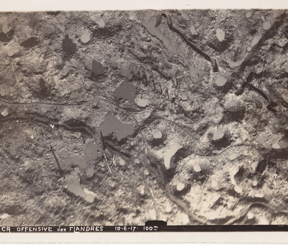
The In Flanders Fields Museum has a rich collection of more than 2,500 aerial photographs of the Western Front in Belgium. The collection is diverse and contains many unique images. Unlike the large archives in London and Brussels, aerial photographs are mostly found in photo albums that were compiled during or shortly after the war and therefore reflect the personal wartime experiences of the photographer.
Often these are unique aerial photographs that were collated in albums because they showed specific areas of interest (e.g. the reconstruction of Ypres, Nieuwpoort and Diksmuide shortly after the war) or specific actions (e.g. German aerial photographs of British raids on Zeebrugge), or simply for their aesthetic or illustrative appeal. Approximately one-third of the collection consists of German aerial photographs. Thanks to numerous donations and an active acquisition policy, the collection has been steadily growing every year. Aerial photographs and dozens of British, German and Belgian trench maps can be viewed in the museum's knowledge centre.

Other collections

The Australian War Memorial in Canberra has approximately 16,000 prints of British WWI aerial photographs. The Western Front Aerial Photographs collection was created shortly after the war to document the Australian battlefields on the Western Front in Belgium and France as a source of information for official historiography. The photographs, like those in IWM, are accessible via the GSGS 1:40,000 grid and include two clusters of photographs: the Ypres Salient and the battlefields on the Somme.
The only major German collection of aerial photographs (BS-Aufklärung) that survived the Allied bombing of Germany during World War II can be found in the Bavarian main state archives in Munich (Bayerisches-Hauptstaasarchiv - Abteilung 4: Kriegsarchiv). The collection is estimated at about 300,000 aerial photographs and is arranged according to the units that took the photographs. In effect, these are almost exclusively from the Bavarian flying units. The collection does not only include images taken over France and Belgium, but other fronts such as Palestine and the Eastern Front are also well represented. The geographical content of the collection is explained in a catalogue containing a summary description of the main locations that have been photographed. A free publication is available for further information.
