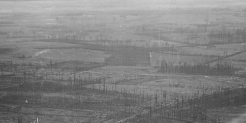
Aerial photography during the First World War
World War I broke out on 4 August 1914. What was initially intended to be a lightning war, ended up as a stalemate in the trenches after the Battle of the Yser and the First Battle of Ypres. Both sides soon recognised the potential of a new weapon: aerial reconnaissance. Pilots and observers became the all-seeing eyes of the military. What started as an initiative by a few enthusiastic pilots and observers, quickly grew into a fully-fledged discipline from mid-1915 onward, and was widely practised. In fact, aerial photography proved to be the most efficient way to gather information about the enemy as well as one's own trench systems and the organisation of the hinterland. The aerial photographs were an invaluable source for creating trench maps.